
-
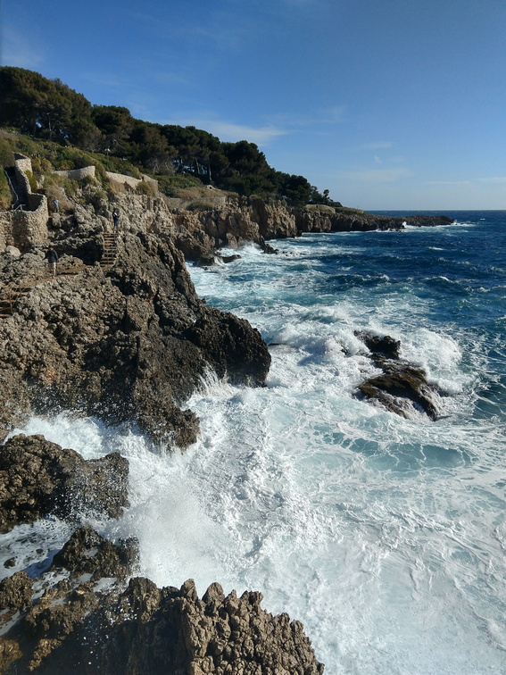 Cap d'Antibes
You would think that you'd be safe on the path, up there. -
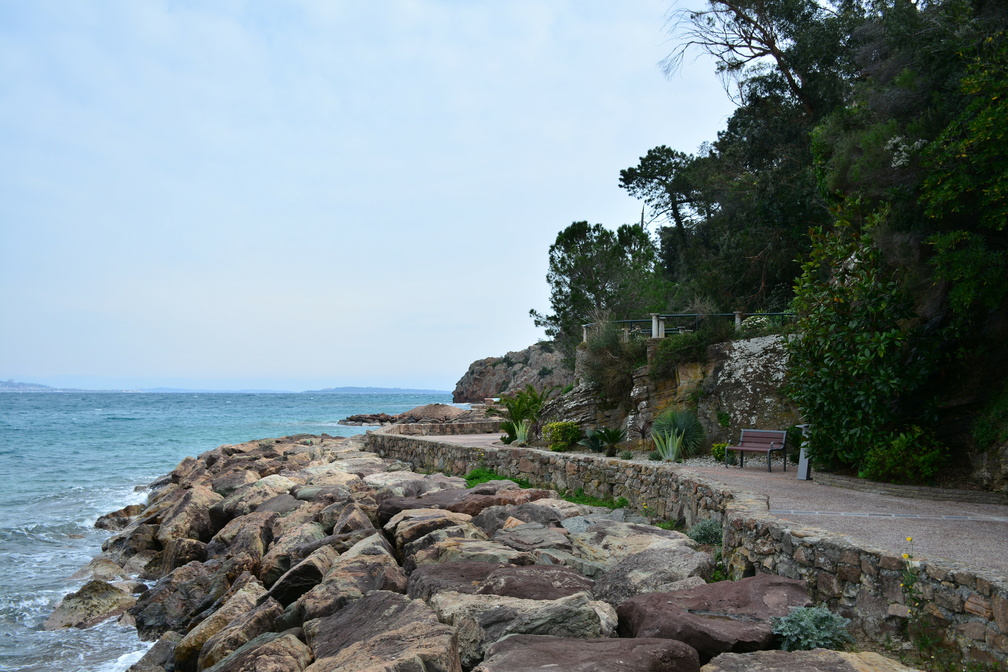 Théoule-sur-Mer
Promenade André Pradayrol -
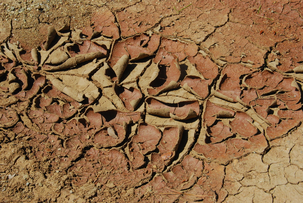 The Lycian Way
Already completely dried out in May. -
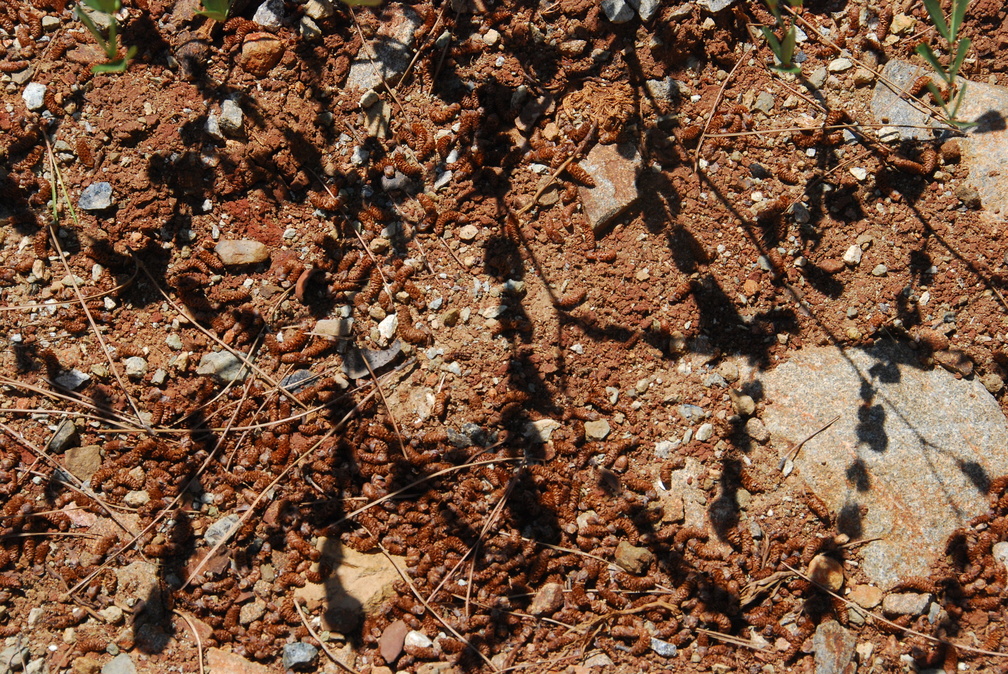 The Lycian Way
Funny shadows -
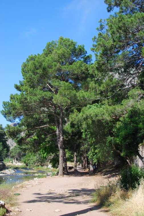 Olympos
-
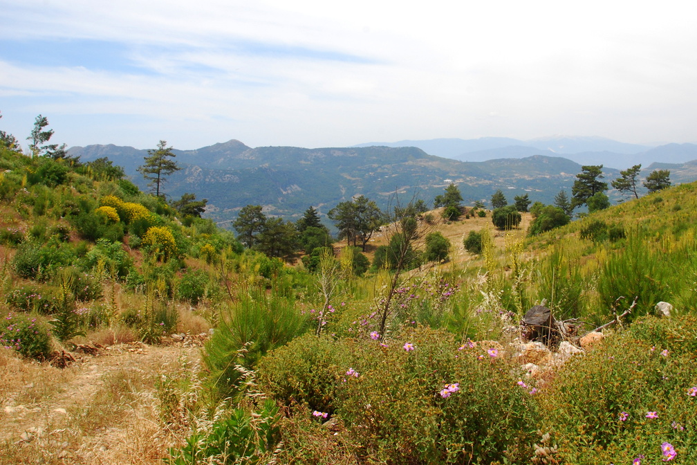 The Lycian Way
From Olympos to Adrasan -
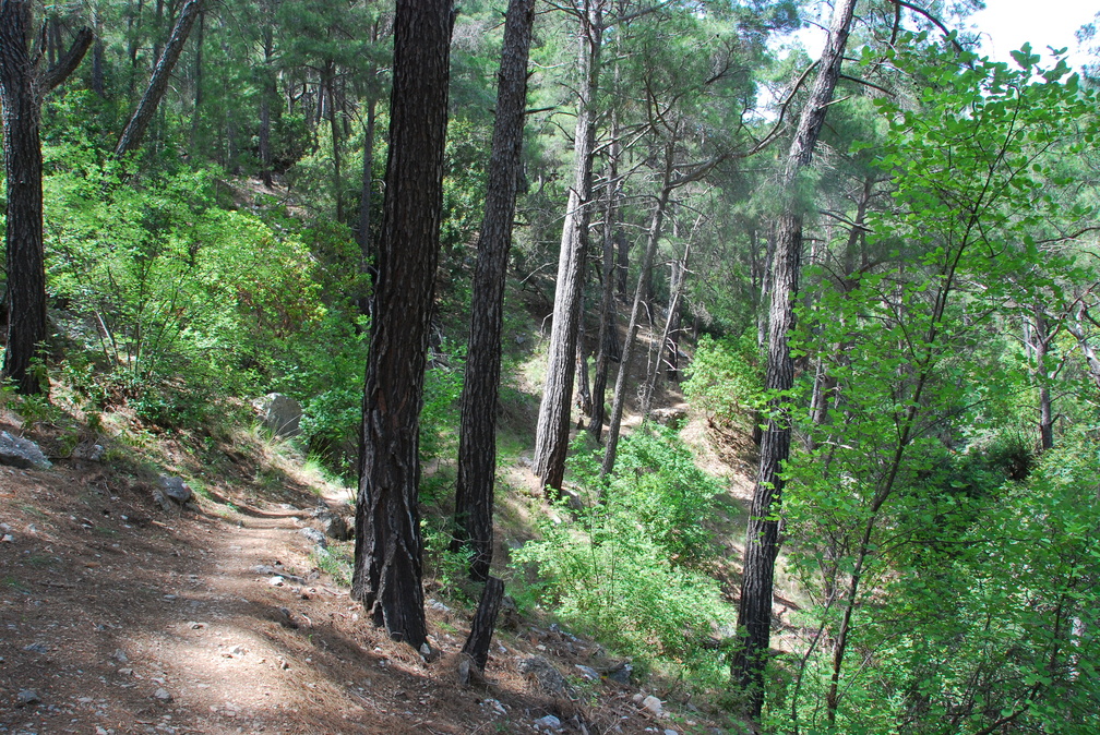 The Lycian Way
A perfect walking path. -
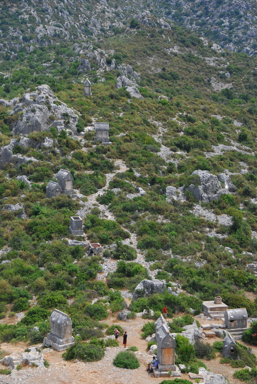 The Lycian sarcophagi in Simena - Kaleköy
Yes, there are many of them. -
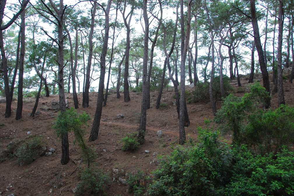 The Lycian Way
Towards Phaselis -
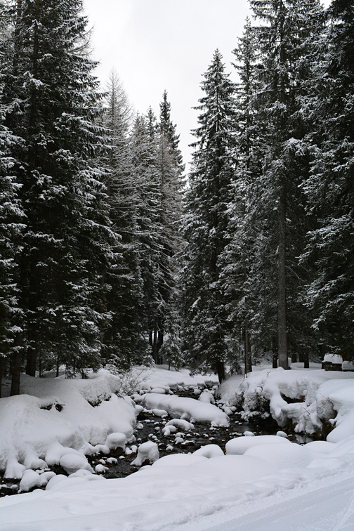 Black & white
I love black & white photos directly from the nature. This is Centro Fondo Peronaz, towards Cadore. -
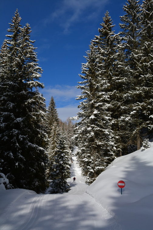 Palafavera
Wonderful cross-country trails -
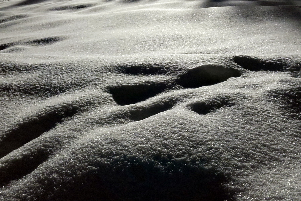 Snow!
Snow!
Another black & white real-world photo! -
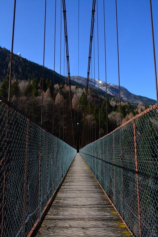 Passerela di Igne
Igne footbridge -
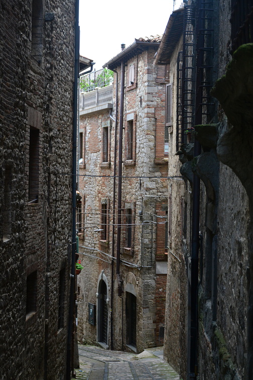 Medieval streets in Todi
-
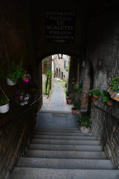 Via delle Scalette, Todi
-
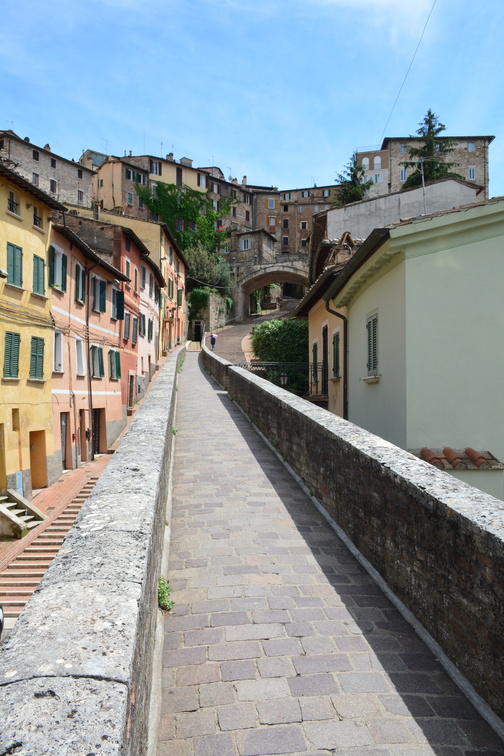 Via Acquedotto and Via Appia, Perugia
-
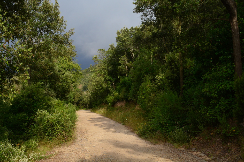 Elba
Elba
From Colle Reciso towards San Martino -
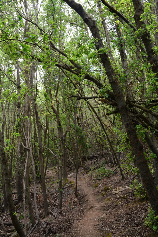 Elba
Elba
From Colle Reciso towards San Martino -
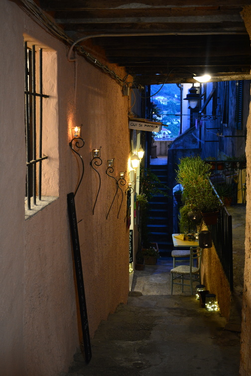 Capoliveri
Qui si mangia. -
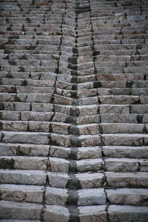 Portoferraio
Lots of stairs. Everywhere. -
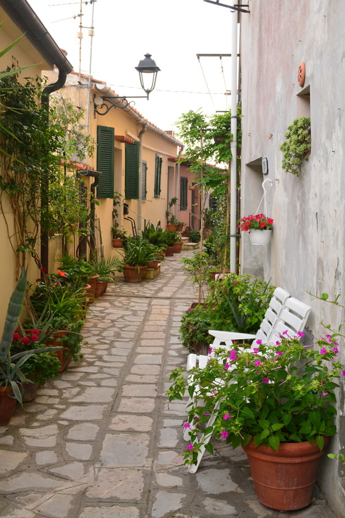 Church of Padreterno in Rio nell'Elba
What a lovely street! -
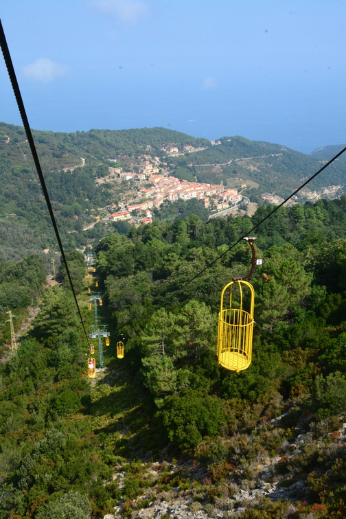 Monte Capanne cable car
These cable car cages are for two persons only. -
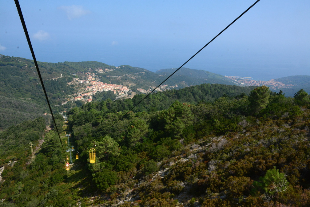 Monte Capanne cable car
These bird cages are truly something special. -
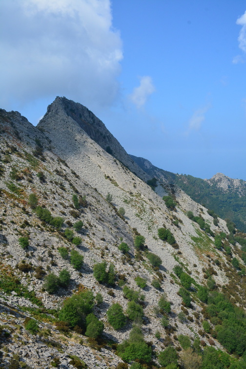 Mountains of Elba
-
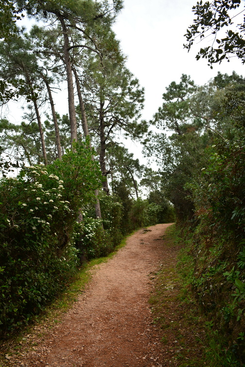 Towards Pointe de l'Aiguille
This is a super-beautiful path. I wish I could share the wonderful scent of all the blossoming bushes and flowers. -
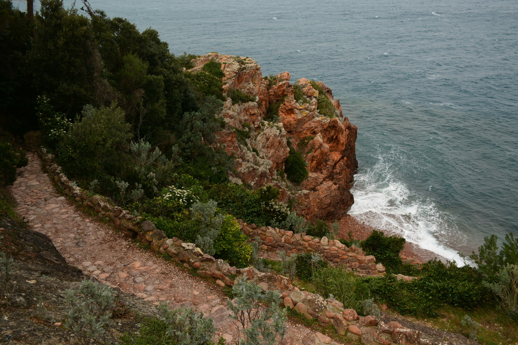 La pointe de l'Aiguille
Now this is a magic place. Beautiful. Red. And windy. -
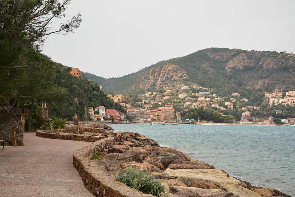 Théoule-sur-Mer
Promenade André Pradayrol -
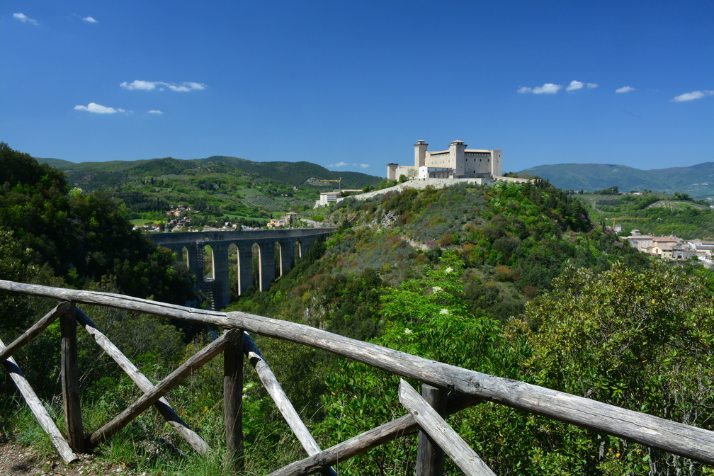 Giro dei Condotti
A wonderful walking path with views of the town, the castle and Ponte delle torri. -
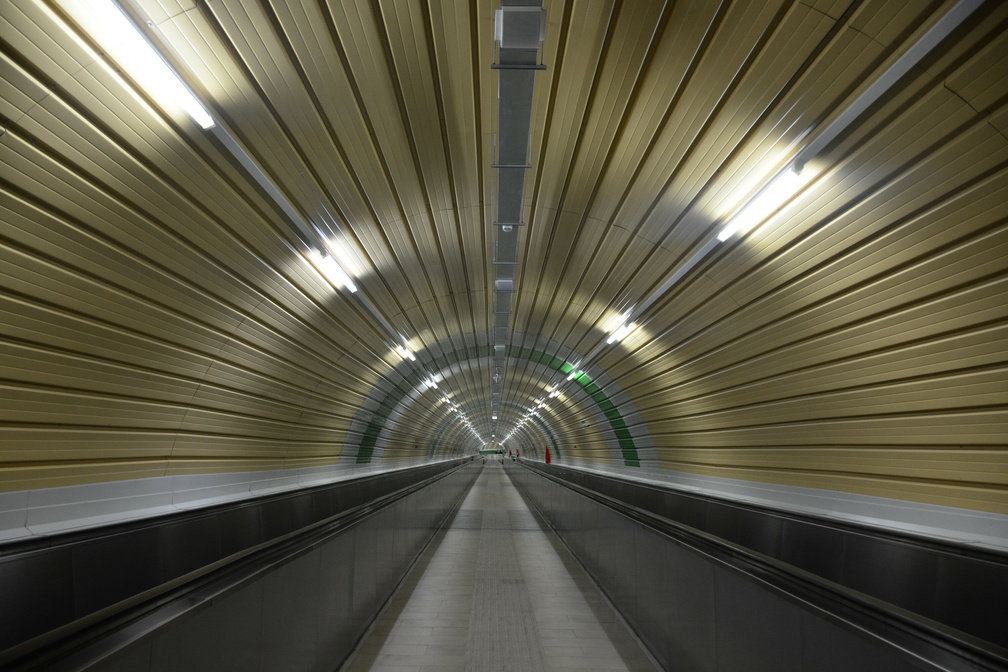 Spoleto underground
Spoleto has an interesting (and very practical) underground. -
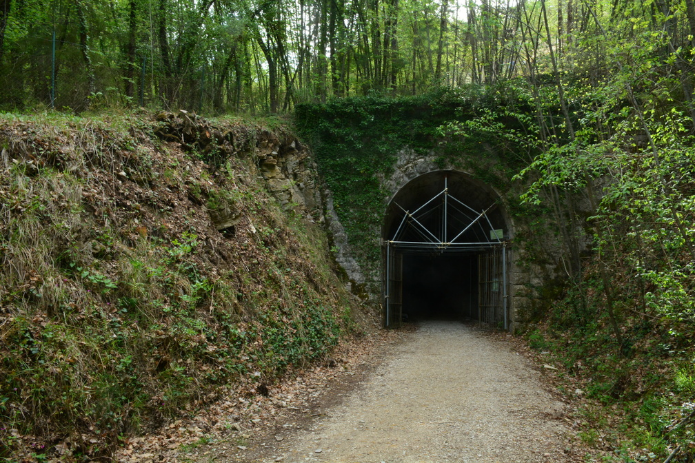 Ex Ferrovia Spoleto - Norcia
A super interesting cycling path along the old railway. Plenty of bridges and tunnels. -
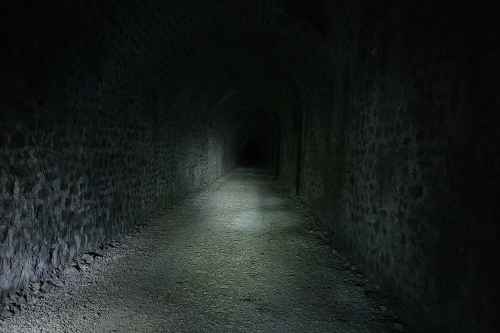 Ex Ferrovia Spoleto - Norcia
The longest tunnel is 1936 m long. Almost 2 km in total total darkness. Galleria di Valico Caprareccia. -
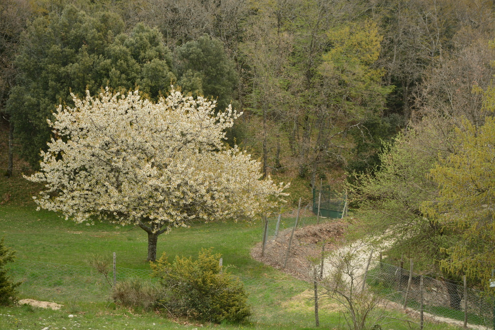 Spring in Umbria
And a lovely blossoming tree. -
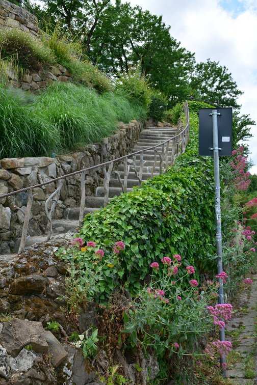 Footpath towards Piazzale Michelangelo
A wonderful pathway up the Piazzale Michelangelo. -
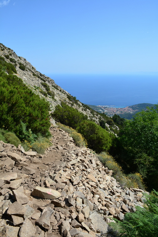 Monte Capanne
The rocky path up Monte Capanne. -
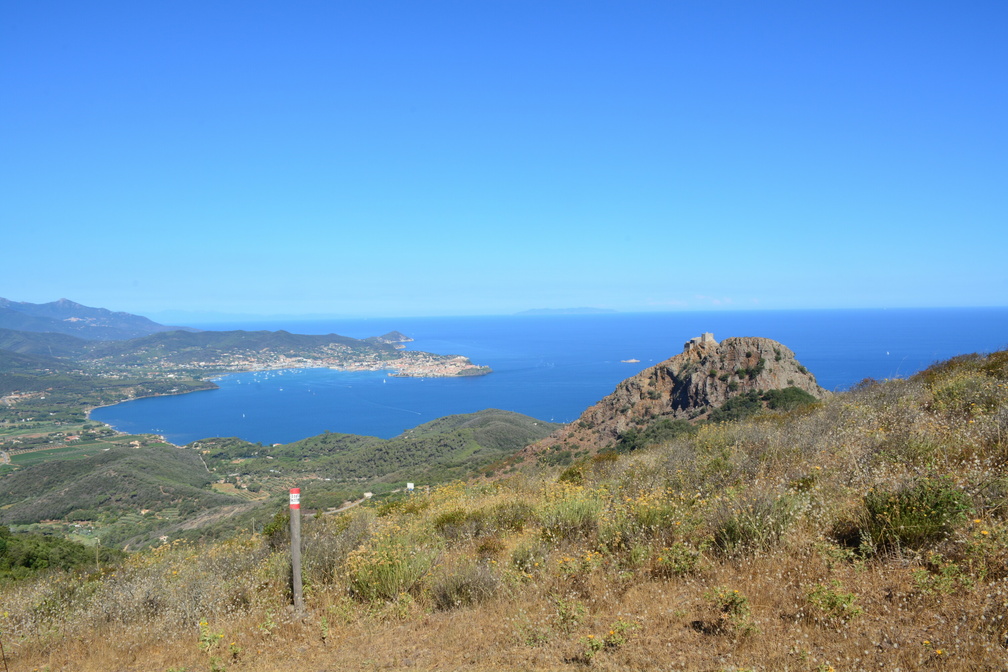 Portoferraio and Castello del Volterraio
Hike up the Cima del Monte (515 m). A wonderful path with views of Portoferraio and Castello del Volterraio. -
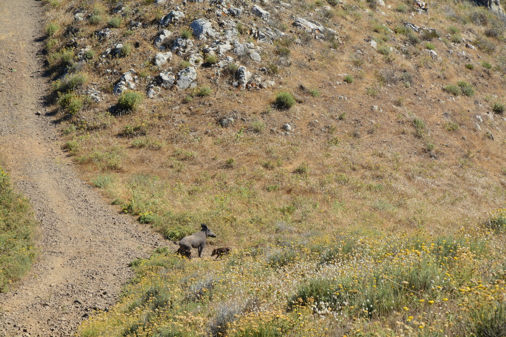 Wild boar family!
In broad daylight. Mum with a bunch of squeakers. -
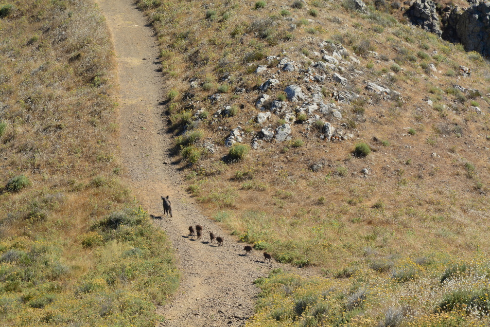 Wild boar family!
There is seven of them! Plus the mum, of course. -
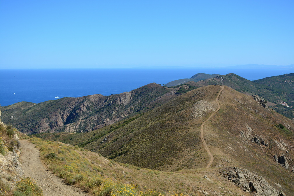 Towards Cima del Monte
The path (the wild boar family now gone) towards Cima del Monte (515 m). -
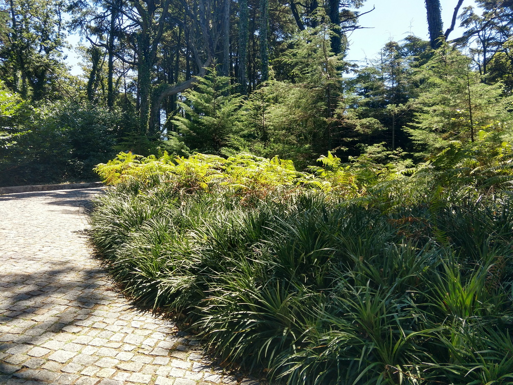 Pena park
We decided to take a walk through the Pena gardens (and not visit the palace this time). -
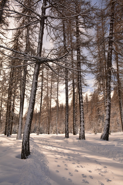 Col de la Pousterle
Even the hiking paths are well prepared. -
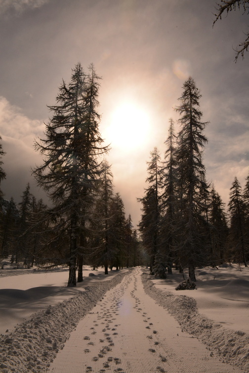 Col de la Pousterle
Not many people walked the path that morning. -
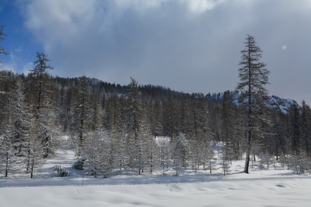 Col de la Pousterle
Next to the hiking path is the cross-country skiing trail. -
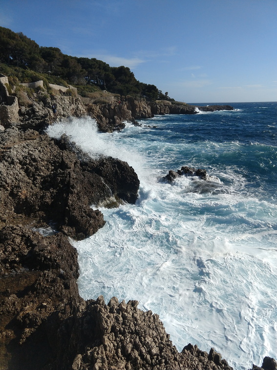 Cap d'Antibes
Well, think again. -
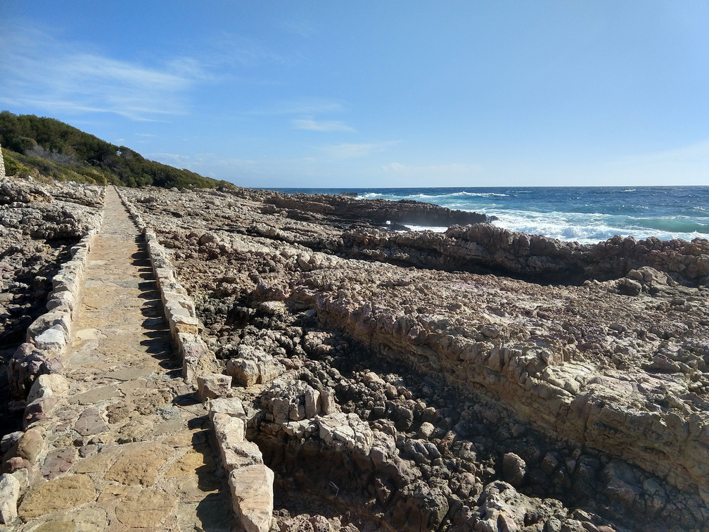 Cap d'Antibes
What a lovely path running around the Cap. -
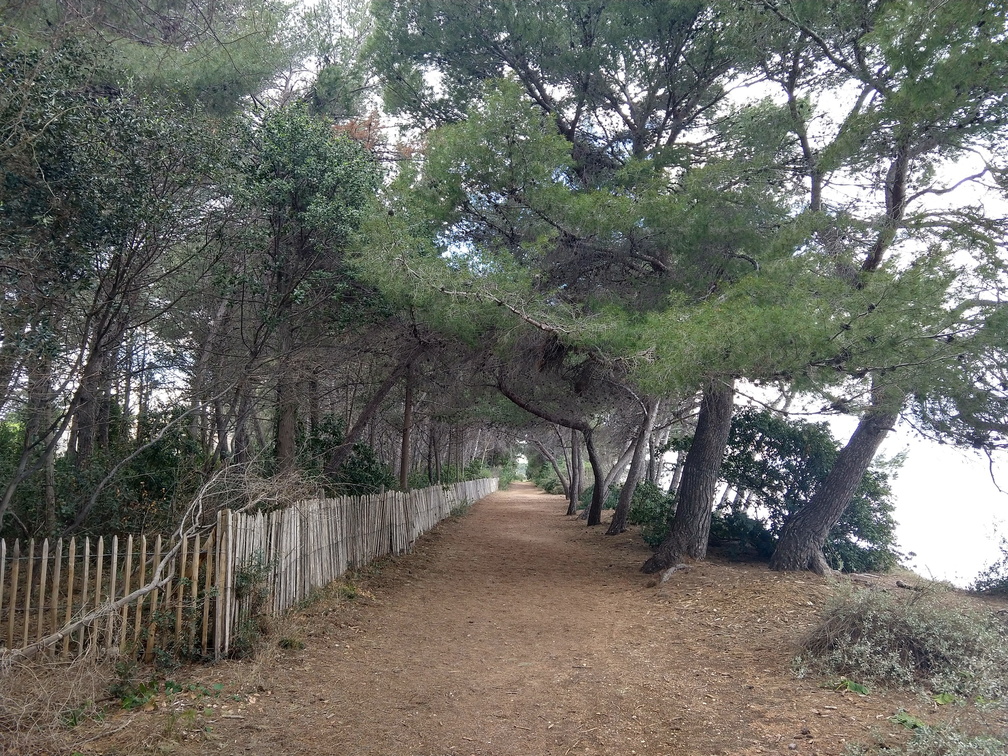 Île Saint-Honorat
A super soft and super quiet path. -
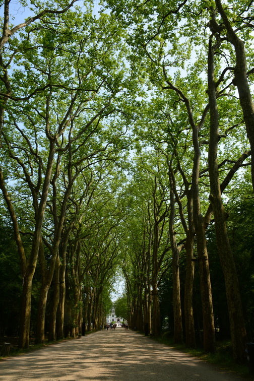 Château de Chenonceau
The avenue leading to the castle. Great shade in the summer heat. -
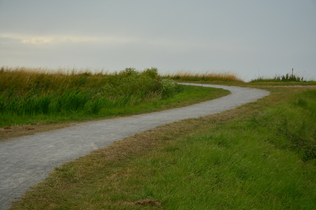 Digue de la Duchesse-Anne
The constructions of these dykes started in the 11th and 12th century. The dykes still separate cultivated polders and salty marshlands. And of course offer a great opportunity to hike or cycle :-) -
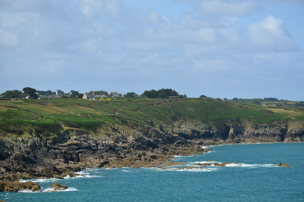 Pointe du Grouin
GR34. So so so tempting, but we needed to move on. -
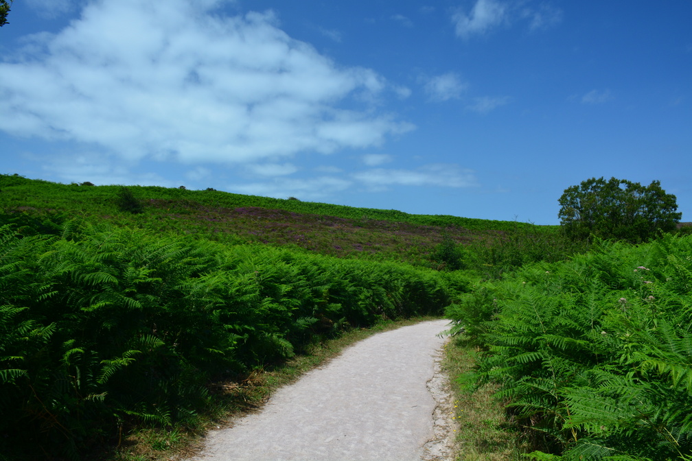 Cap d'Erquy
If you can, take a walk on Cap d'Erquy. You will not regret it. -
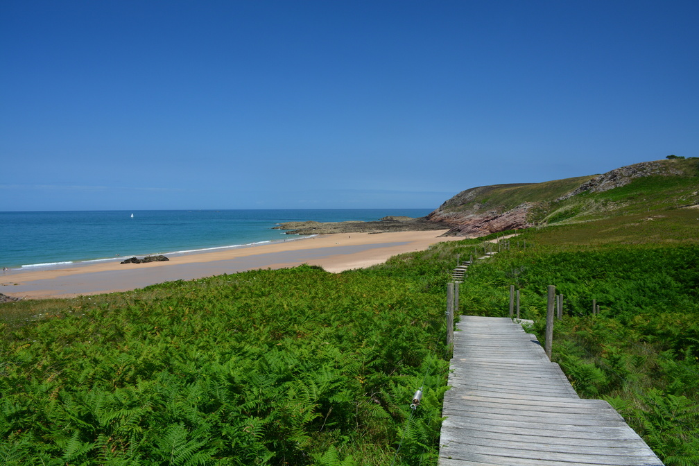 Cap d'Erquy
-
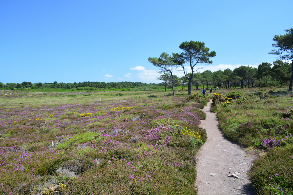 Cap d'Erquy
It was insanely hot walking here, no shadow in sight. But it was worth it. -
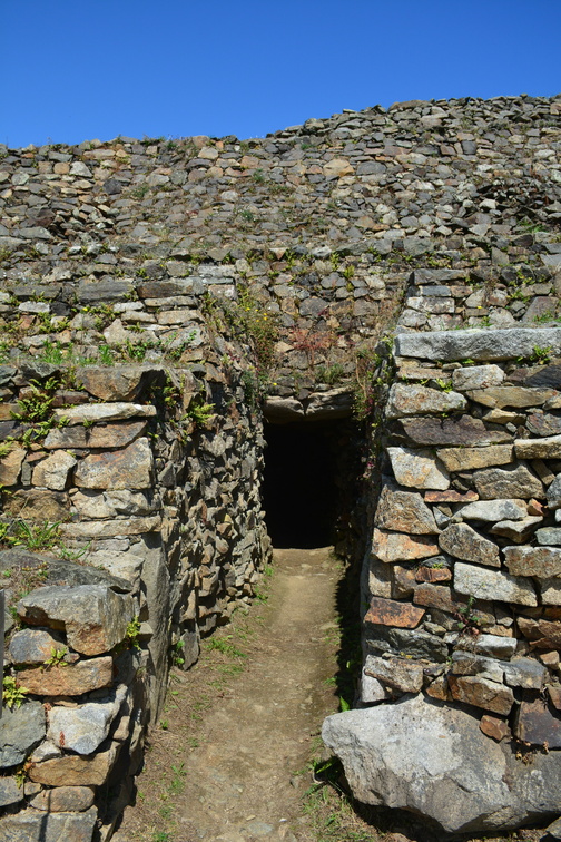 Cairn of Barnenez
The tumulus contains 11 chambers entered by separate passages. -
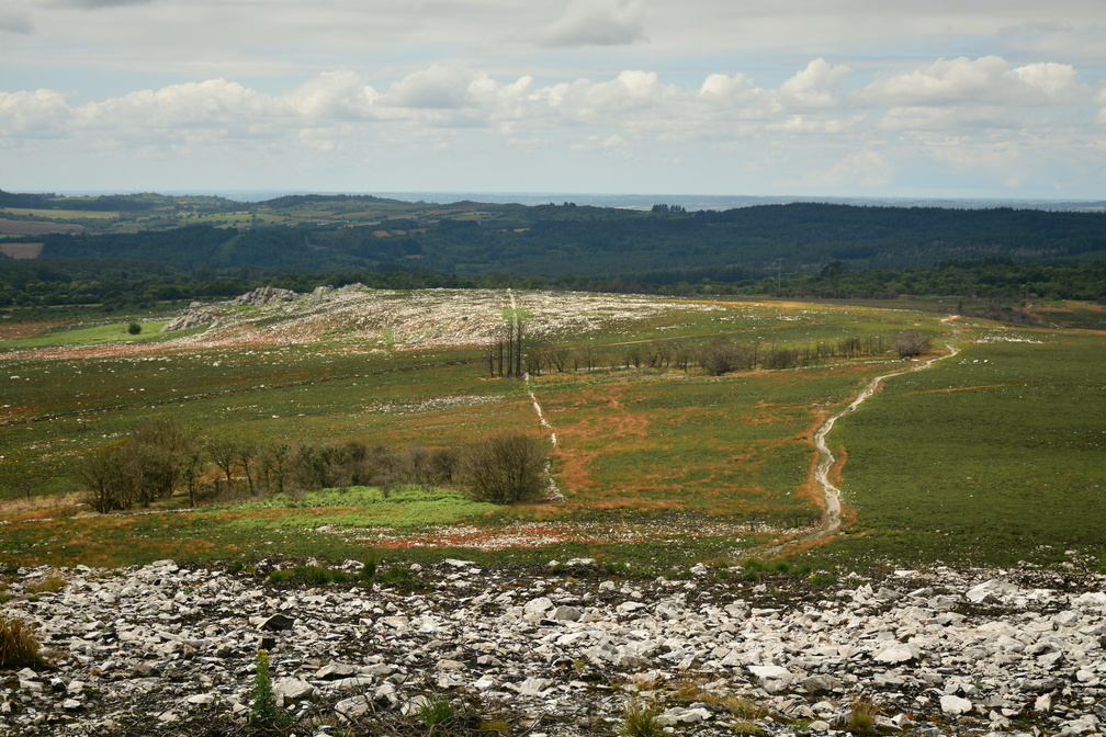 Mont Saint-Michel de Brasparts
The consequences of a terrible fire in 2022. -
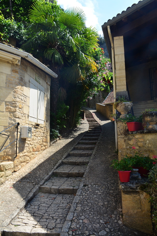 La Roque-Gageac
-
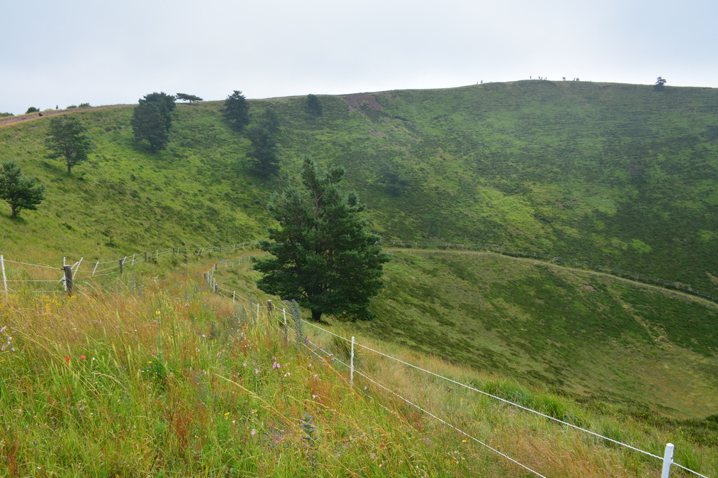 Puy de Pariou
One of the most photogenic volcanoes around there. Unfortunately the weather was quite meh so (this time) we didn't climb the Puy the Dôme. -
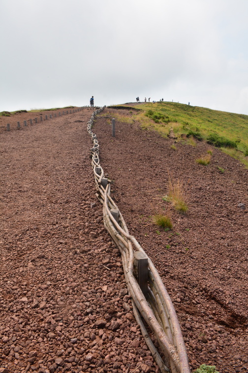 Puy de Pariou
What an interesting fence. -
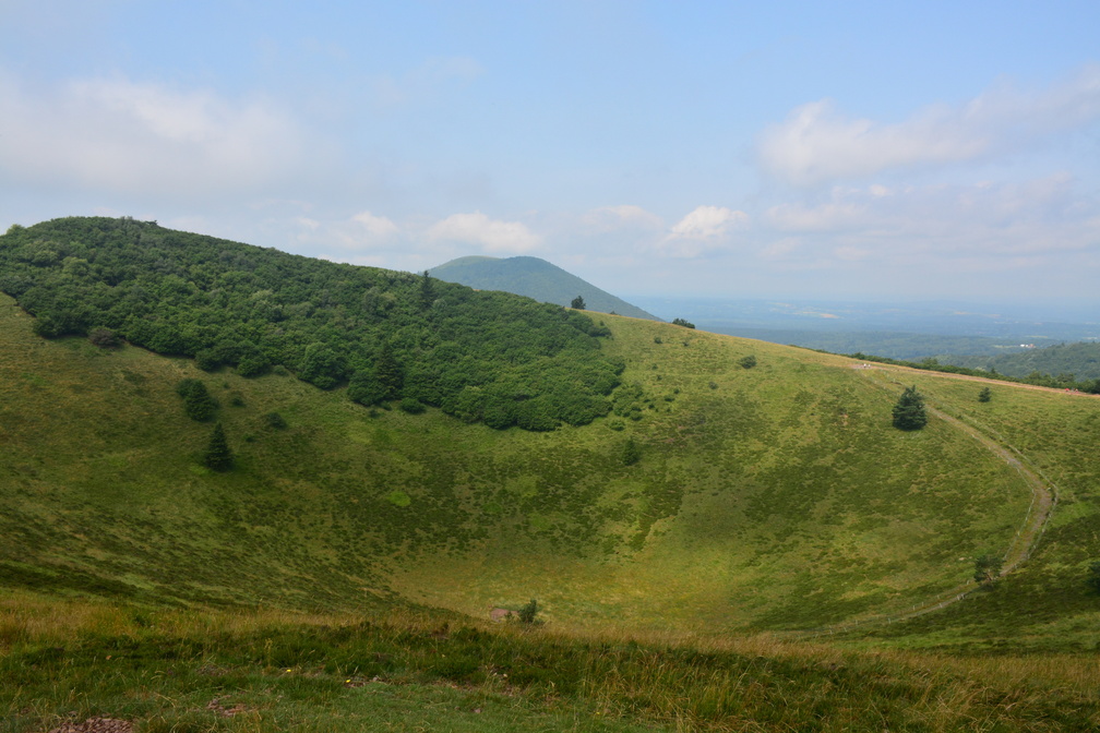 Puy de Pariou
Puy de Pariou with Puy de Dôme in the background. Of course once we decided not to climb the Dôme but the Pariou, the skies cleared. -
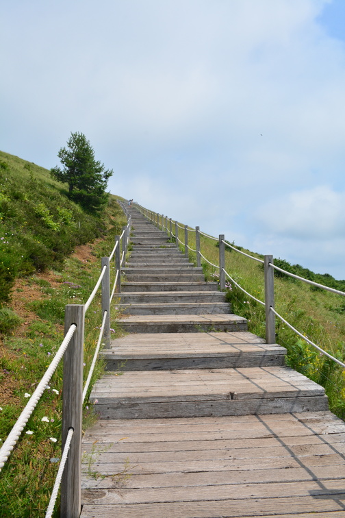 Puy de Pariou
I'm happy we chose this path for the way down. -
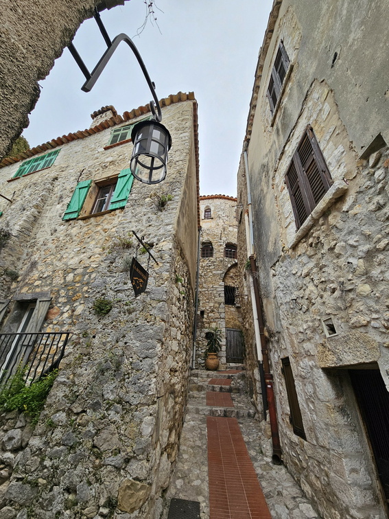 Èze
Èze
-
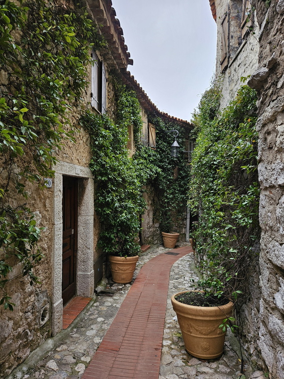 Èze
Èze
Rue du Barri -
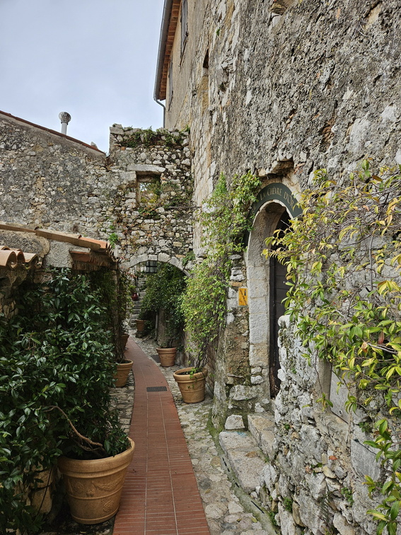 Èze
Èze
Rue du Barri -
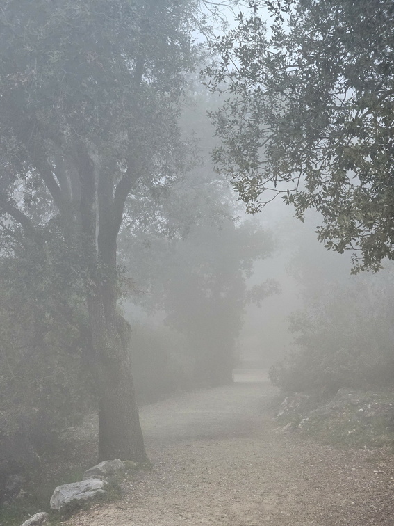 The hills above Èze
Apparently there is wildlife in these woods. A boar or a fox could be 5 m away and I probably wouldn't notice it! -
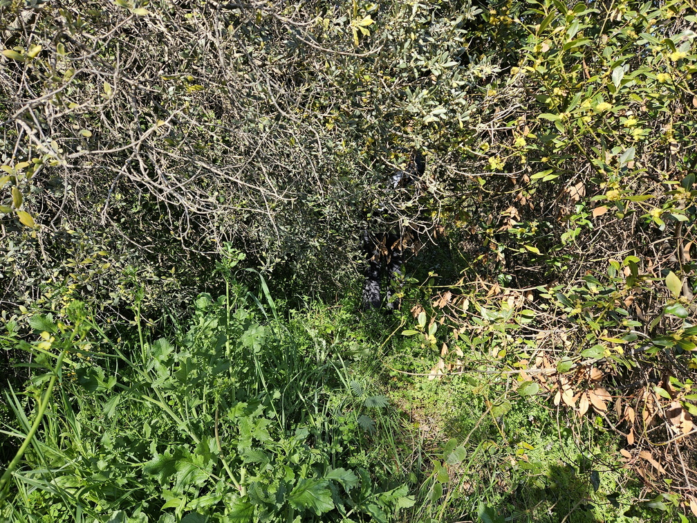 Belluny
Well, the path around Belluny is not the most frequented. Yes, this is the path. -
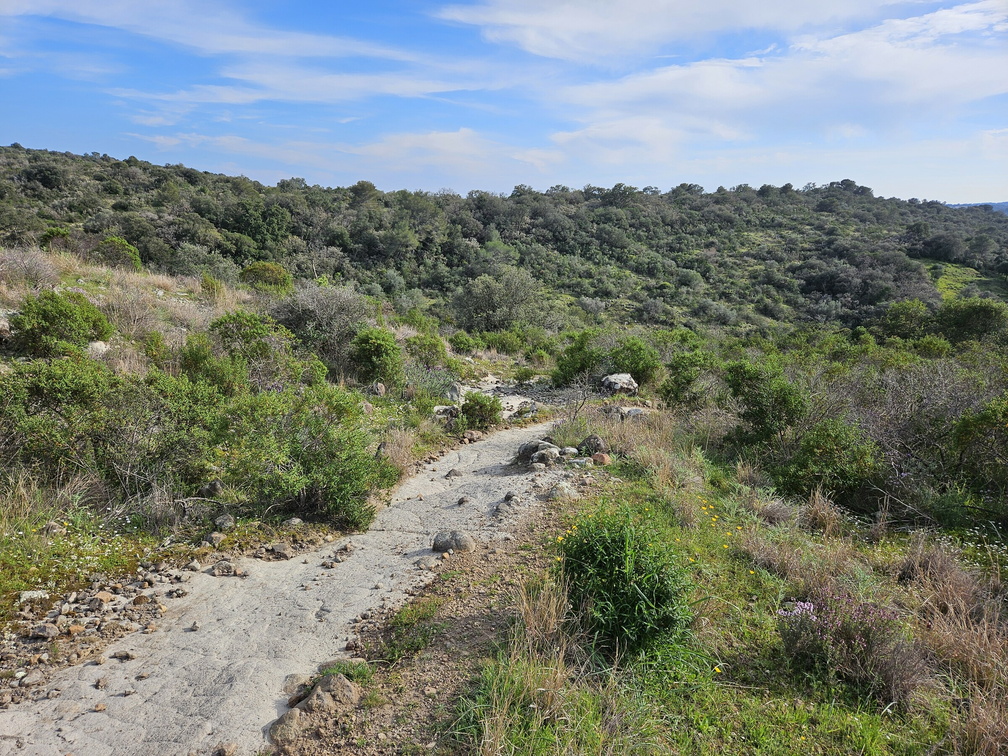 Biot volcano
A tiny hill is all what is left of an ancient volcano. -
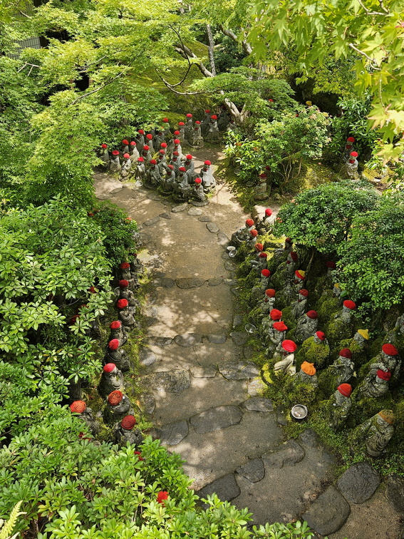 Daishō-in
500 rakan figures, Buddhist high priests, who have attained enlightenment. -
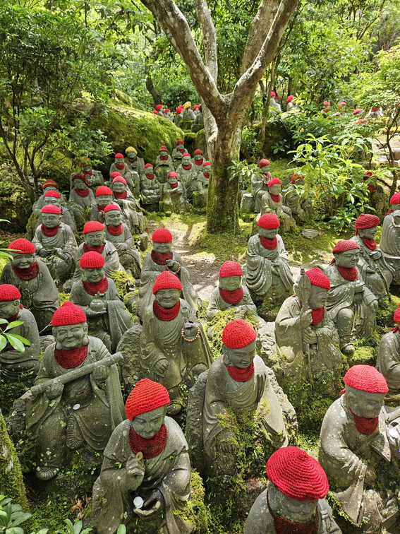 Daishō-in
500 rakan. What an interesting variety of faces and emotions. -
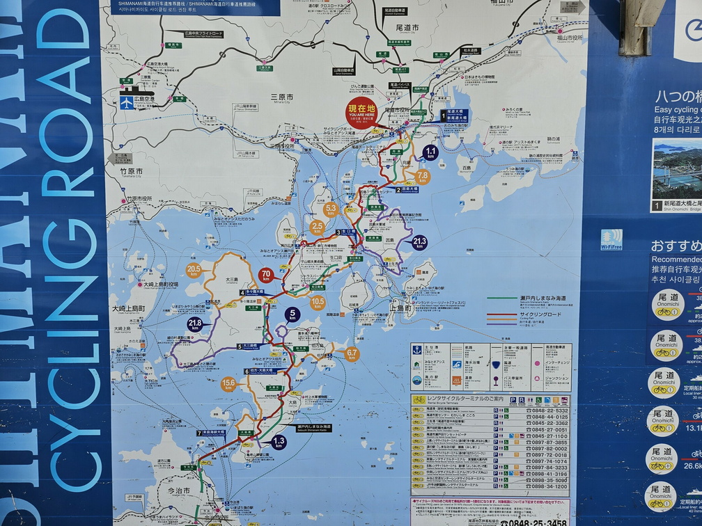 Shimanami Kaido
A map of cycling trails around the islands in Setonaikai National Park, connecting Honshu and Shikoku. -
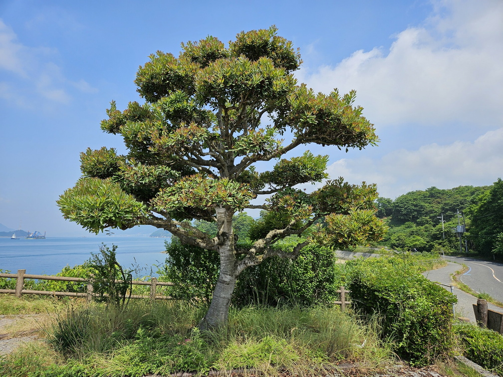 Mukaishima Rest Area
Mukaishima Rest Area -
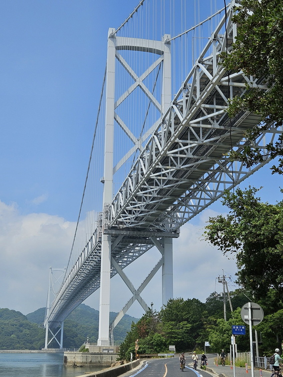 Innoshima Bridge
Our favourite bridge on the route. -
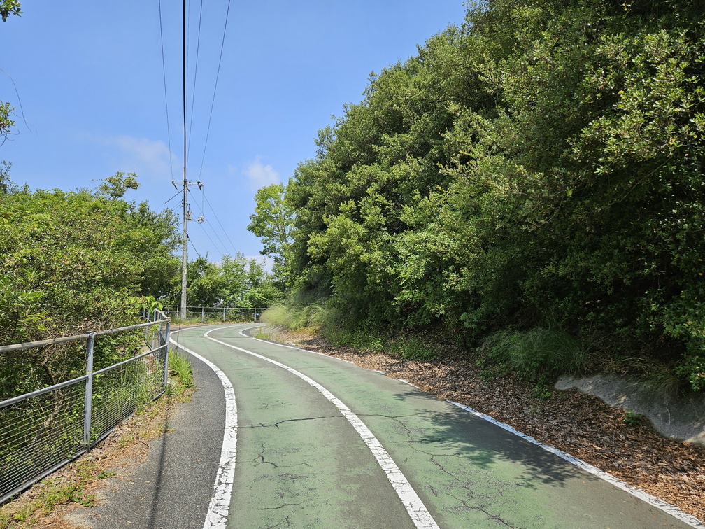 Innoshima Bridge
A wonderful cycling path up the Innoshima Bridge. -
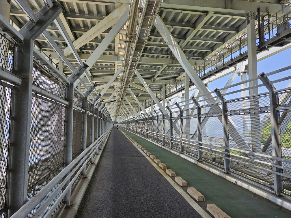 Innoshima Bridge
A cycling path in the shadow of the road. Wonderful path. -
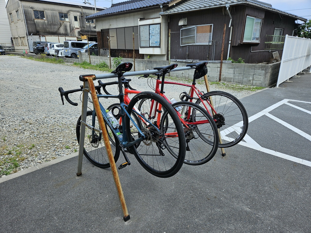 Shimanami Kaido
Our bikes, parked in front of a 7/11. Yes, they have parking racks for bikes. 7-Eleven Innoshima Takuma. -
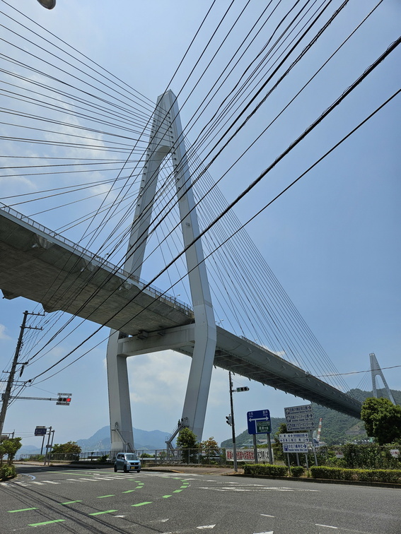 Ikuchi Bridge
The next bridge, towards Ikuchi island. -
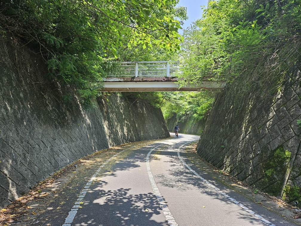 Innoshima Island
The best parts are the approaches to bridges. Slight incline, away from traffic, usually in shade. -
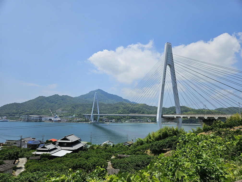 Ikuchi Bridge
Every bridge is different, yet all of them are beautiful. -
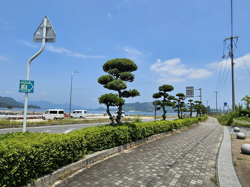 Ikuchi Island
Coastal path around Ikuchi Island. Not much of a shade here... Fureai Exchange Open Space Area -
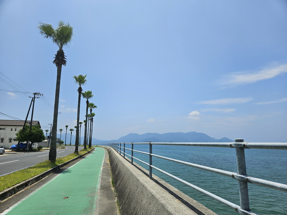 Ikuchi Island
Coastal path. It is nice - but not quite the Riviera. -
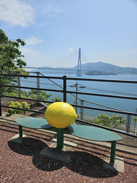 Tatara Bridge
A lovely bench in Lemon Ravine, overlooking the Tatara bridge. There is a monument to the Birthplace of Japan's Lemons. -
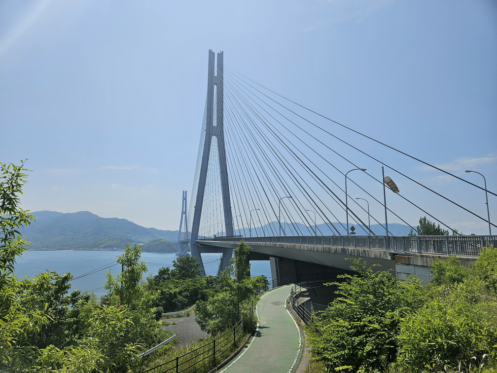 Tatara Bridge
Another lovely approach to the bridge. These really are my favourite parts of the path. -
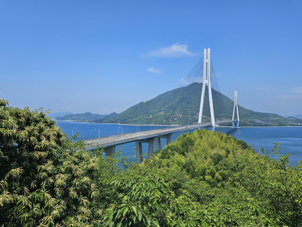 Tatara Bridge
View from the Omishima island. -
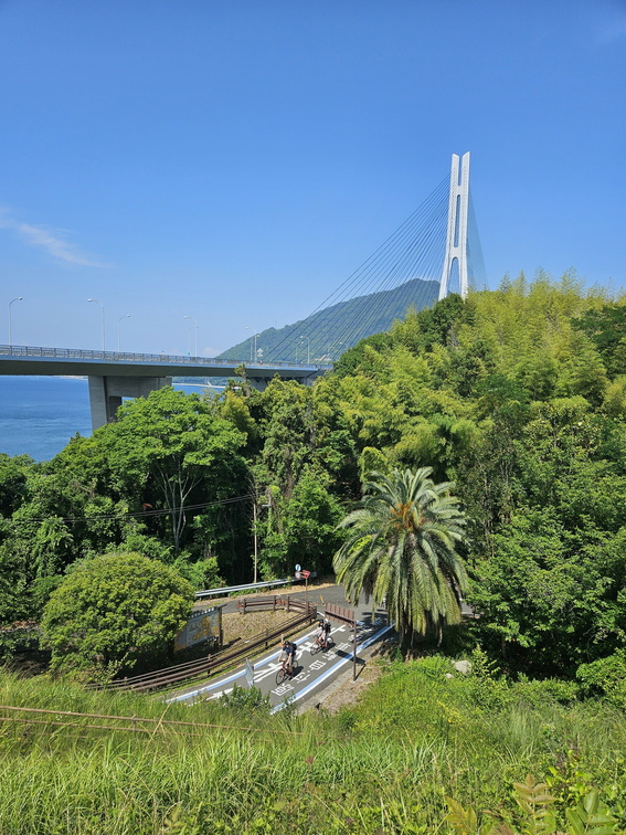 Tatara Bridge
The access to the bridge and the bridge itself. What a wonderful place. -
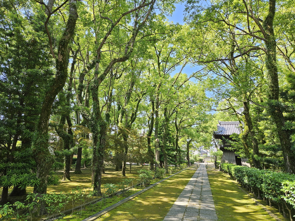 Shōfuku-ji
Shōfuku-ji, the oldest Zen temple in Japan, completed in 1204. -
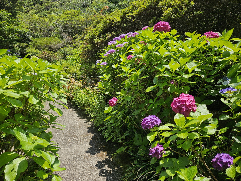 Hells of Beppu
Ah, so many blooming hydrangeas! -
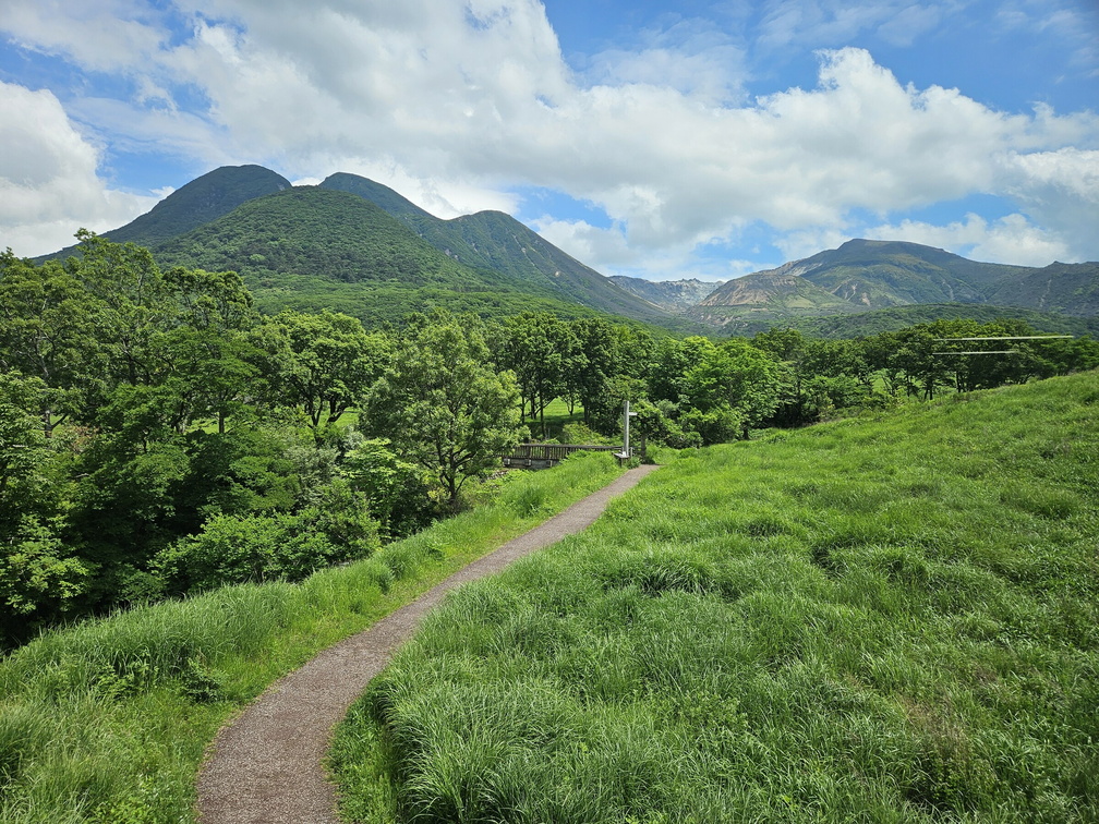 Tadewara Wetlands
What a wondeful place, the Tadewara wetlands. Kuju mountains in the background. -
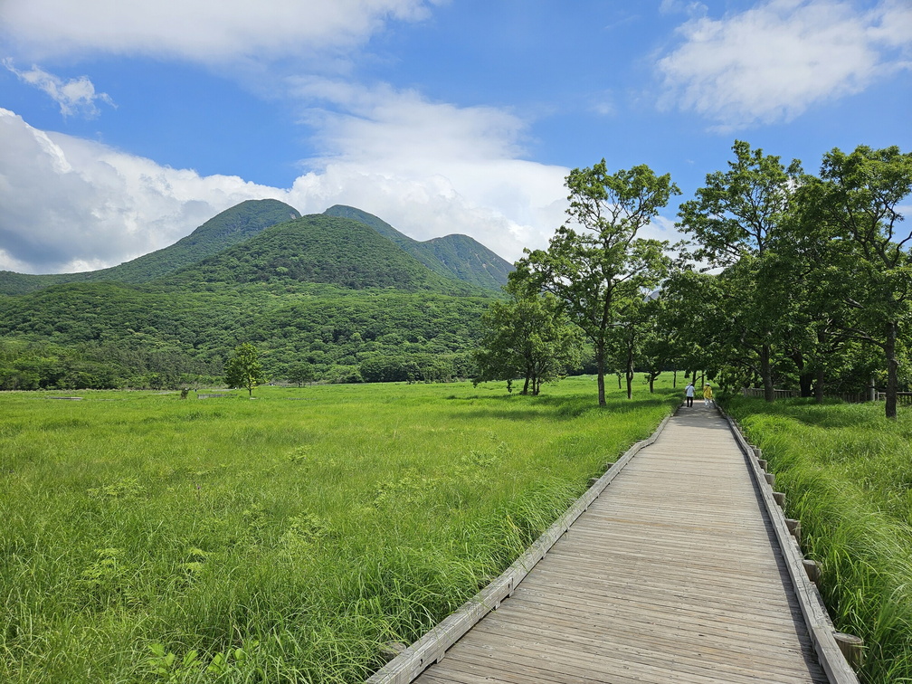 Tadewara Wetlands
I'm quite happy about the wooden boardwalk. Especially after reading the sign to be aware of vipers. Especially after seeing a snake swimming in one of the lakes in Beppu. -
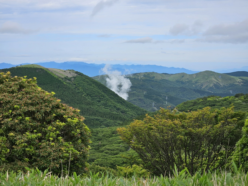 Kuju mountains
Mount Aso was closed due to volcanic activity ... so we returned to Kuju mountain range. -
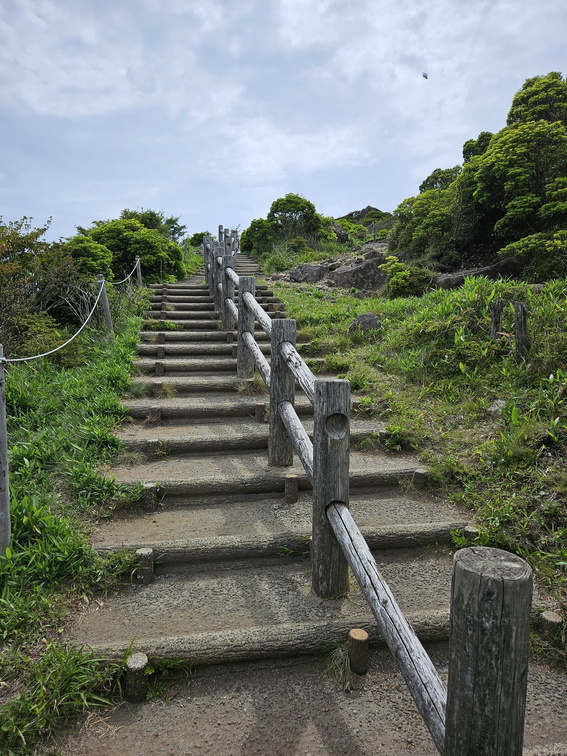 Kuju mountains
The hike towards Mt Hoshisho. First paved path, then paved stairs ... and then ladders :-) -
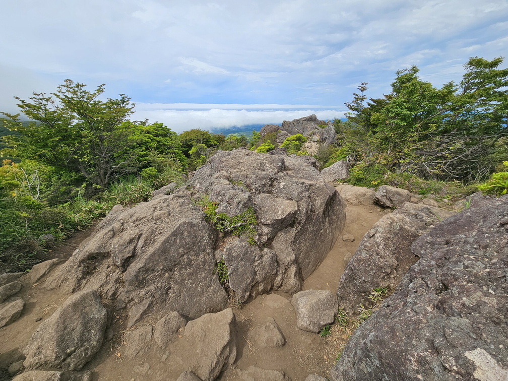 Kuju mountains
What happened to the paved path and broad stairs :-) -
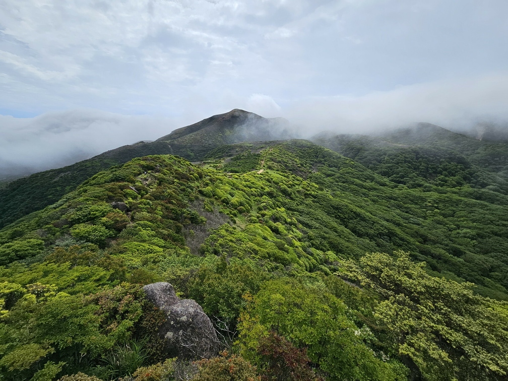 Kuju mountains
The clouds started gathering on the peaks so not the best views. But the path is fantastic! -
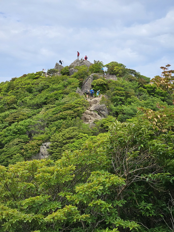 Kuju mountains
The path does get a bit technical in between. -
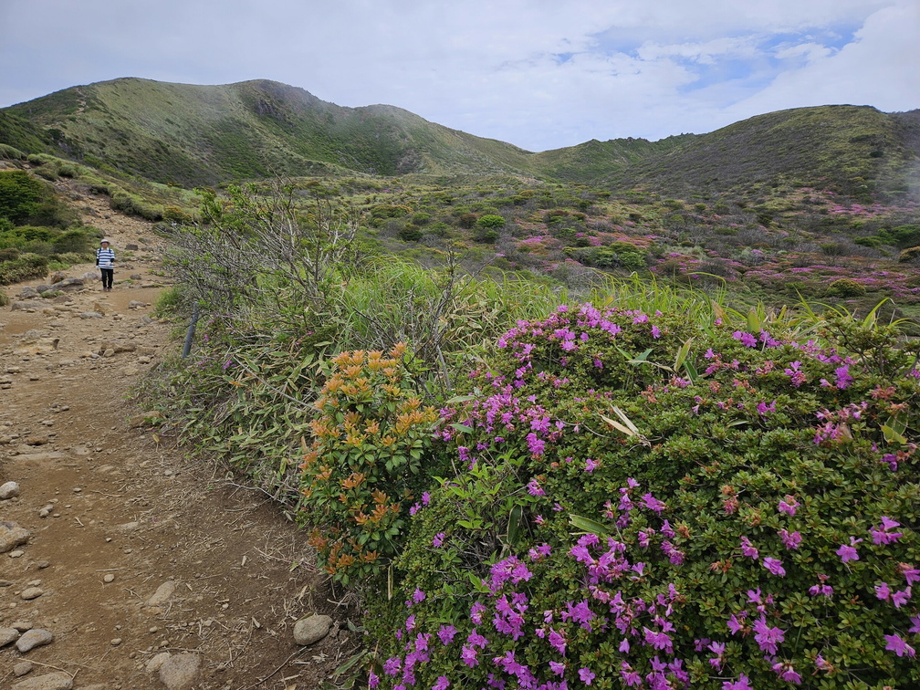 Kuju mountains
When the skies cleared, the view towards Mount Hoshisho (1762 m) opened. -
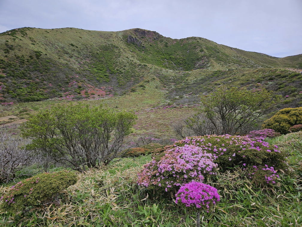 Kuju mountains
Another moment of clear skies before the clouds closed again. -
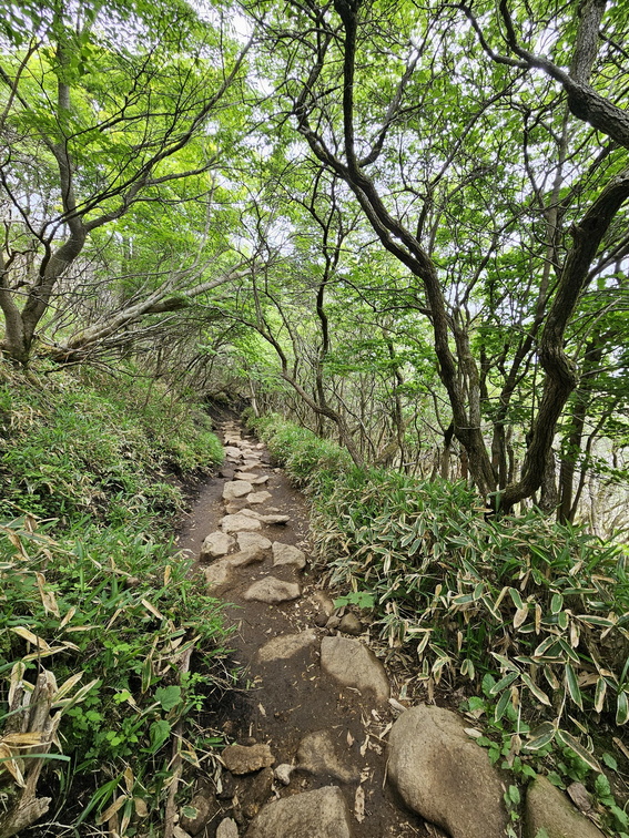 Kuju mountains
We heard plenty of birds - and frogs. Is this even possible? Frogs? -
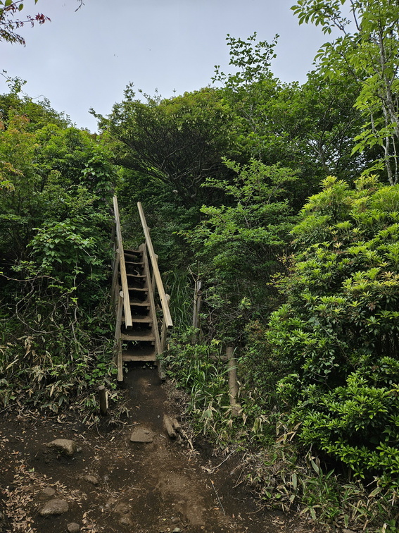 Kuju mountains
I said there were ladders, not just paved path. -
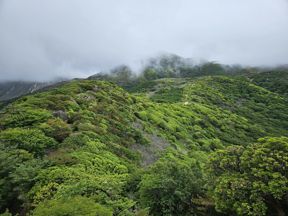 Kuju mountains
The clouds were gathering on the mountain tops. -
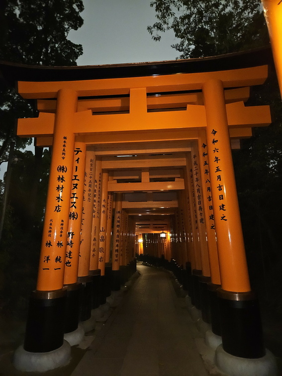 Fushimi Inari Taisha
Senbon Torii, the thousand red gates. -
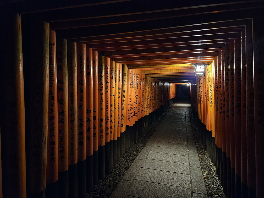 Fushimi Inari Taisha
-
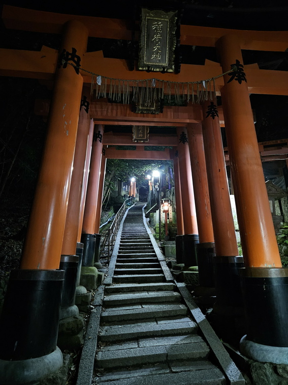 Fushimi Inari Taisha
We didn't meet many people there. But we met wild boars. No, I did not take pictures of them. -
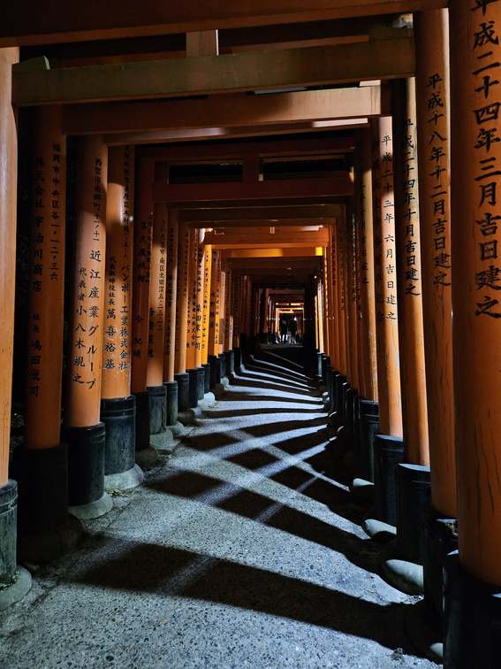 Fushimi Inari Taisha
Wonderful play of light and shadow. And I love the red of course. -
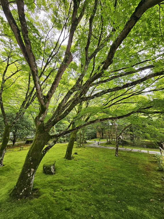 Saihō-ji (Koke-dera) Temple
The temple is a also called the Moss Temple. Because of all the moss, obviously.